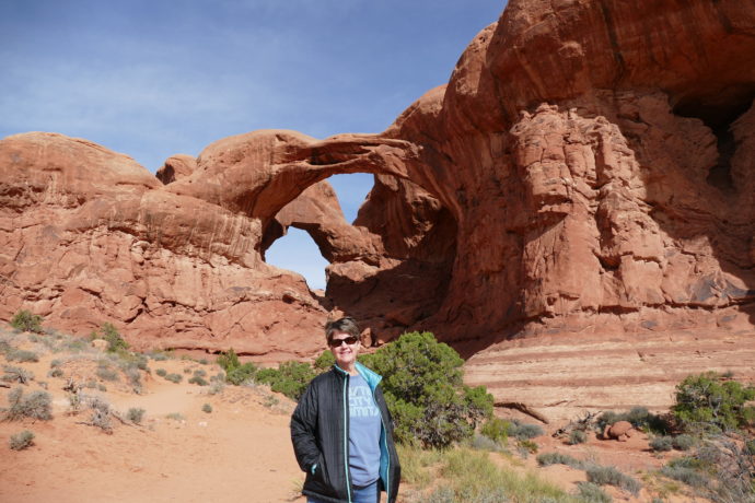
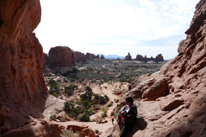
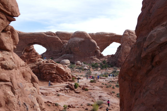
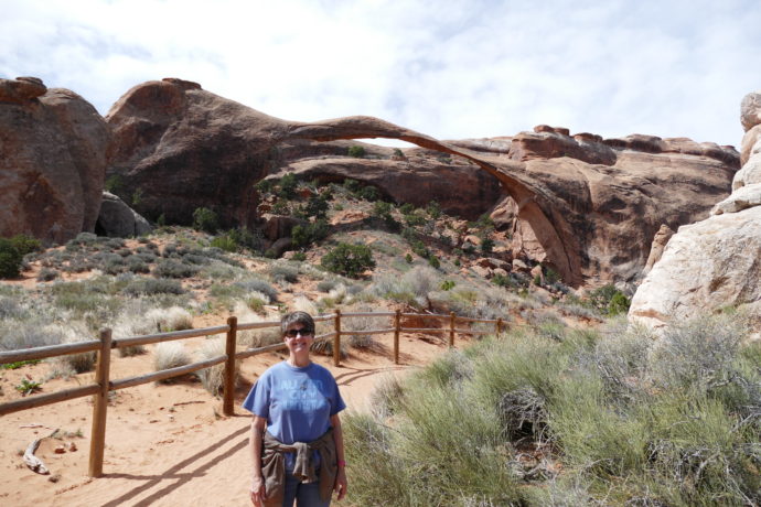
After fishing the Lees Ferry Reach of the Colorado River with Lees Ferry Anglers, we took off for Navajo Dam, NM and the San Juan River. Along the route, we noticed a right turn at Cameron, AZ that would take us to the Grand Canyon…. well, DUH! Of course, we decided to head west to Grand Canyon National Park.
We arrived at Trailer Village RV Park inside GCNP around noon, got the SaraLinda setup and off we went. We were anxious to get in as much as we could that first afternoon because the forecast for the next day was rainy and windy. Nothing worse that hiking down a narrow trail with the wind blowing hard and the trail wet. So off we went!
When we decided to go to the park, we consulted with our friends Chuck and Marty Raplinger, who’d actually hiked down to the bottom of the Grand Canyon with their daughters Christina and Jessica, a year ago. They’d shared with us the details of their trip, hiking down Bright Angel Trail, camping at the base of the canyon, then hiking back up on Kaibab Trail. Chuck told us the hike up was challenging, especially that last mile. However, Chuck told us that a good hike might be the first mile down the Kaibab Trail to a viewpoint called Ooh Aah Point.
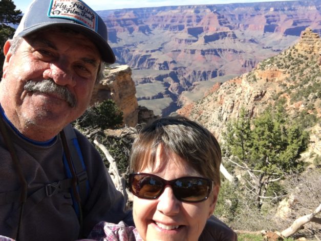
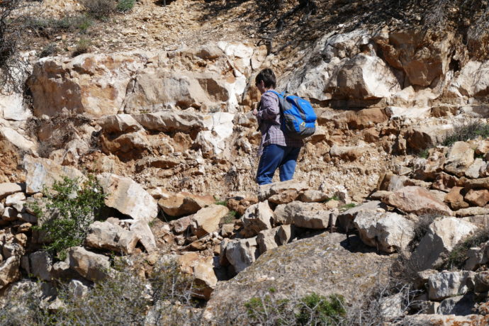
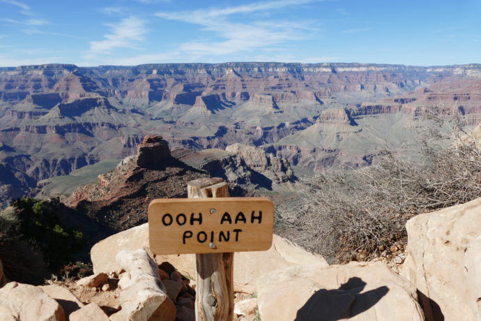
So, our first stop was the South Rim trailhead for the Kaibab Trail. I knew Barb would be somewhat skeptical of hiking the trail due to it being narrow, with somewhat steep drop-offs and mostly, her fear of heights. Not to be deterred, Barb and I started down Kaibab Trail for Ooh Aah Point (Refer to Pic 1 above – “Selfie”). About 50 yards down the trail, Barb looked at me, said “give me the backpack”, and headed back up. . She said “You go if you want, but not me!” As I continued down the trail, I took a picture of Barb as she ascended the trail (Refer to Pic 2 above – “Bye”). We were headed in opposite directions.
As I continued down the trail, two things struck me, first, the views were breathtaking. Around each switchback of the trail, a new view unfolded with the shadows painting the landscape of the canyon in different ways. Second, I knew that if somehow I’d convinced Barb to continue down the trail with me, she’d have already pushed me off the trail, down into the canyon.
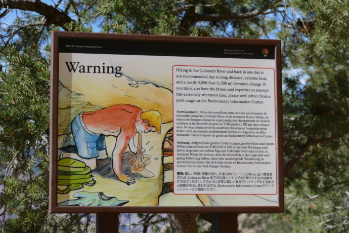
Continuing on, I also noticed two kinds of hikers coming up. First, those who’d hiked down to Ooh Aah Point; they were all smiling, a bit winded perhaps, but still smiling. Then, there were those who clearly had hiked that day from the canyon floor, straight up the trail. Now mind you, the Kaibab Trail, from the canyon floor up to the canyon rim is 8 miles long. Those people were NOT smiling, most were breathing heavily and NOT wanting to say “hi” or even look up at you. Their goal was simply to make it to the top. Take a look at Pic 3 above…. this is the “Warning” sign along the trail. It seemed a few of those coming up didn’t heed this warning.
The real crazies were those who’d decided to hike down to the canyon floor and back up in one day. Those, what is the right word…. um…… idiots, were the grumpiest of all. You could easily identify them. They had only a small backpack, if any at all, and were typically complaining loudly with their hiking partners… some very loudly.
In any event, I made it down to Ooh Aah Point, took my obligatory canyon photos and selfie (Refer to Pic 4 – “Ooh Aah”), took a sip of my water, and then headed back up. About a quarter of the way up, I started to take stock of my breathing and the amount of water I had left in my liter bottle. I started to wonder if others coming down were categorizing hikers coming up like I was. I was hoping they would put me in the right class of those just hiking down to Ooh Aah Point, and not that “idiot” class. I tried to make sure I at least smiled at those coming down as I gasped for air periodically. Finally I made it to the top and hooked back up with Barb at the Visitor Center.
The remainder of our day was stopping at various lookout points along the Rim Trail. We concluded our day by watching the sunset at Mather Point. OK… to be honest, Barb had seen enough canyon views, she took the bus back to the SaraLinda and I met up with her after the sunset.
The next day actually turned out to be better than expected, other than it snowed on us several times throughout the day. We went to the Desert View area of GCNP, climbed the watchtower there and took in more incredible views of the canyon. We also stopped at more overlooks, especially stopping at those where you could actually see the Colorado River cutting its way through the canyon and one of the Class 8-10 rapids. We went to the Tusayan Ruin, an 800 year old pueblo a short distance from the canyon rim. It was so interesting to ponder what life was like for the Native Americans who made GCNP home.
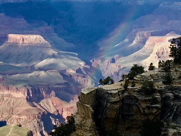
Next, we visited several of the “historic” spots along the Rim Trail, including the Hopi House, Kolb Studio and the El Tovar Hotel. As we were walking back to our car, taking a short cut through another historic structure, the Bright Angel Lodge, a rainbow appeared over the canyon and we snapped the 5th Pic above. Take a close look in the picture, in the lower left corner. You can see a small ribbon of a trail going right to the edge of the canyon wall, a part of the Bright Angel Trail. THAT is where Chuck, Marty, Christina and Jessica hiked and then down further to the bottom of the canyon on their hiking/camping trip. You cannot even see the Colorado River from this viewpoint…. just that ribbon of the trail disappearing off a cliff.
Finally, we did what we always do at the end of a late March Saturday, we retired to the lounge at the Yavapai Lodge to watch March Madness. More specifically, we were there to watch the KU Jayhawks play the Oregon Ducks. Growing up in Missouri, attending the University of Missouri, you can imagine who we were cheering for….. Go Ducks!
The next morning we packed up the SaraLinda and headed east for the Navajo Dam State Park and the San Juan River.
Ramble On

